


About The Metric Surveying Team
Trusted Across WA
Your Local Experts in Surveying Services
The most precise voices on site
Metric Surveying delivers professional, high-accuracy surveying services across some of WA’s biggest civil, infrastructure and construction projects.
With a keen eye for detail and a solid grasp of the pressures projects face, we help you stay on track, from first stakeout to final sign-off, while avoiding costly mistakes along the way.
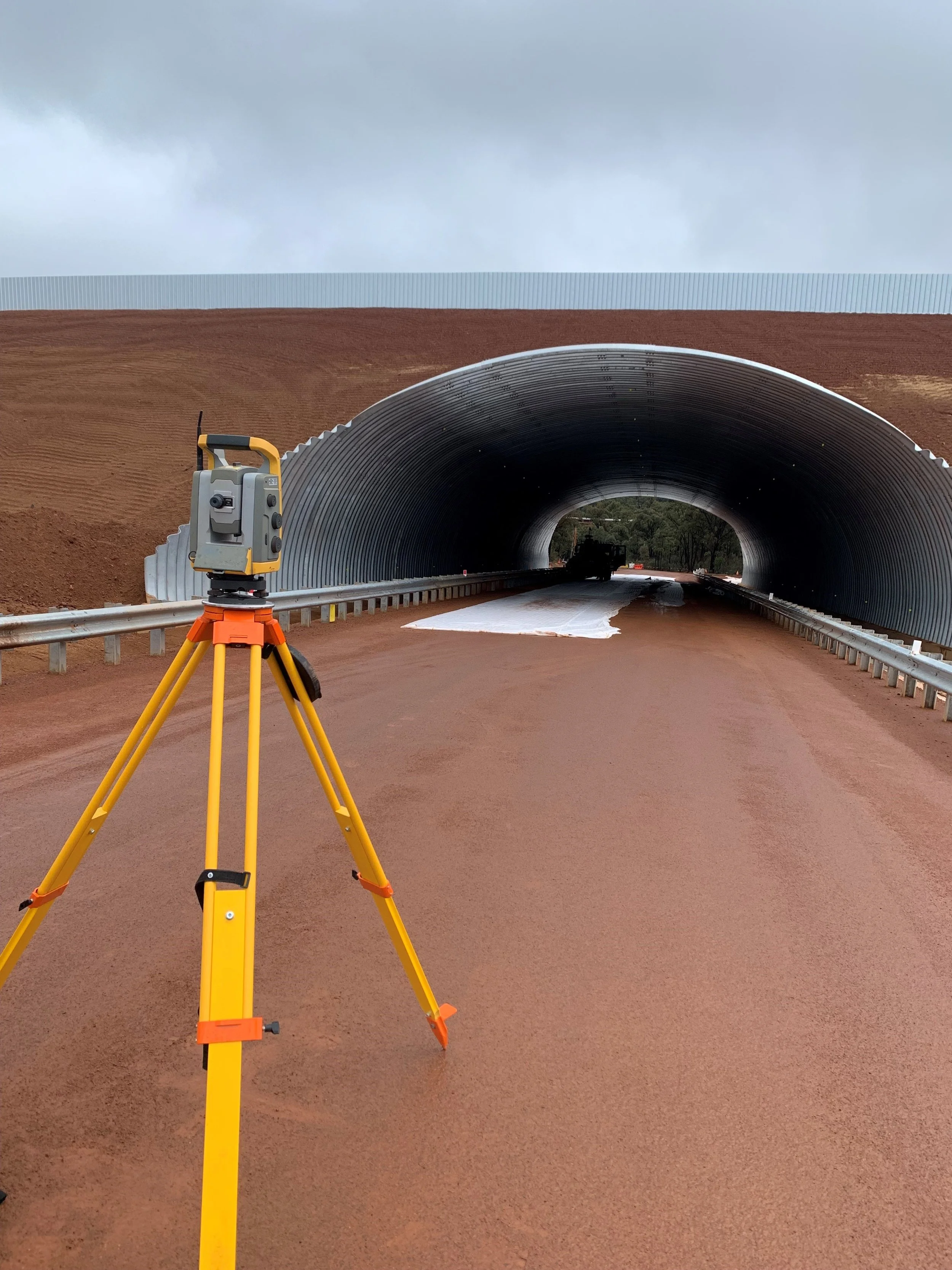
Decades of Experience in Western Australia
Metric Surveying was established in 2022 in response to a growing need for dependable, high-quality surveying services across Western Australia's South West. With a focus on accuracy, responsiveness and technical excellence, we set out to support construction teams with the kind of survey data they can rely on, from planning through to project completion.
Since then, our team has delivered end-to-end surveying support across a wide range of sectors, including road and bridge construction, commercial developments, government infrastructure and large-scale civil works. Our experience spans both greenfield and brownfield environments, with a proven ability to adapt to complex site conditions and tight project timelines.

Specialists in WA’s Surveying Landscape
We understand the unique challenges of working in Western Australia, from sandy soil conditions and restricted CBD sites to remote or difficult-to-access locations. Our team is trained to anticipate these variables, respond efficiently on-site, and deliver practical solutions that keep your project moving smoothly.
Land Surveying for Residential & Commercial Projects
From boundary re-establishment and subdivisions to feature surveys for planning approval, we provide:
Clear, compliant documentation
Fast turnaround
Honest guidance (letting you know the Do's and Don'ts along every step of the project)
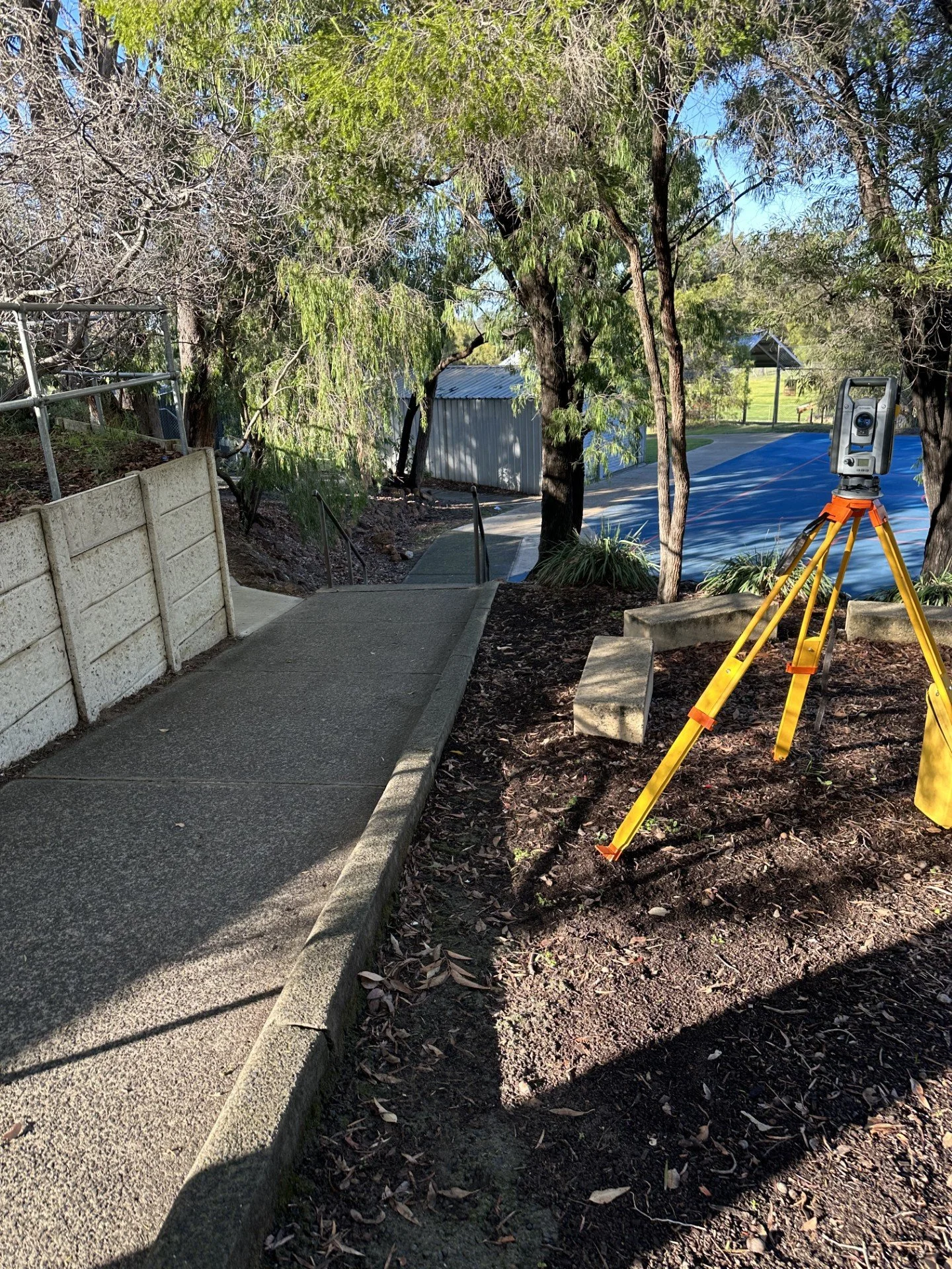
Engineering Surveys & Site Assessments
Our engineering surveys support the entire lifecycle of your project:
Control establishment
Topographic surveys
Civil set-outs
As-builts and compliance documentation
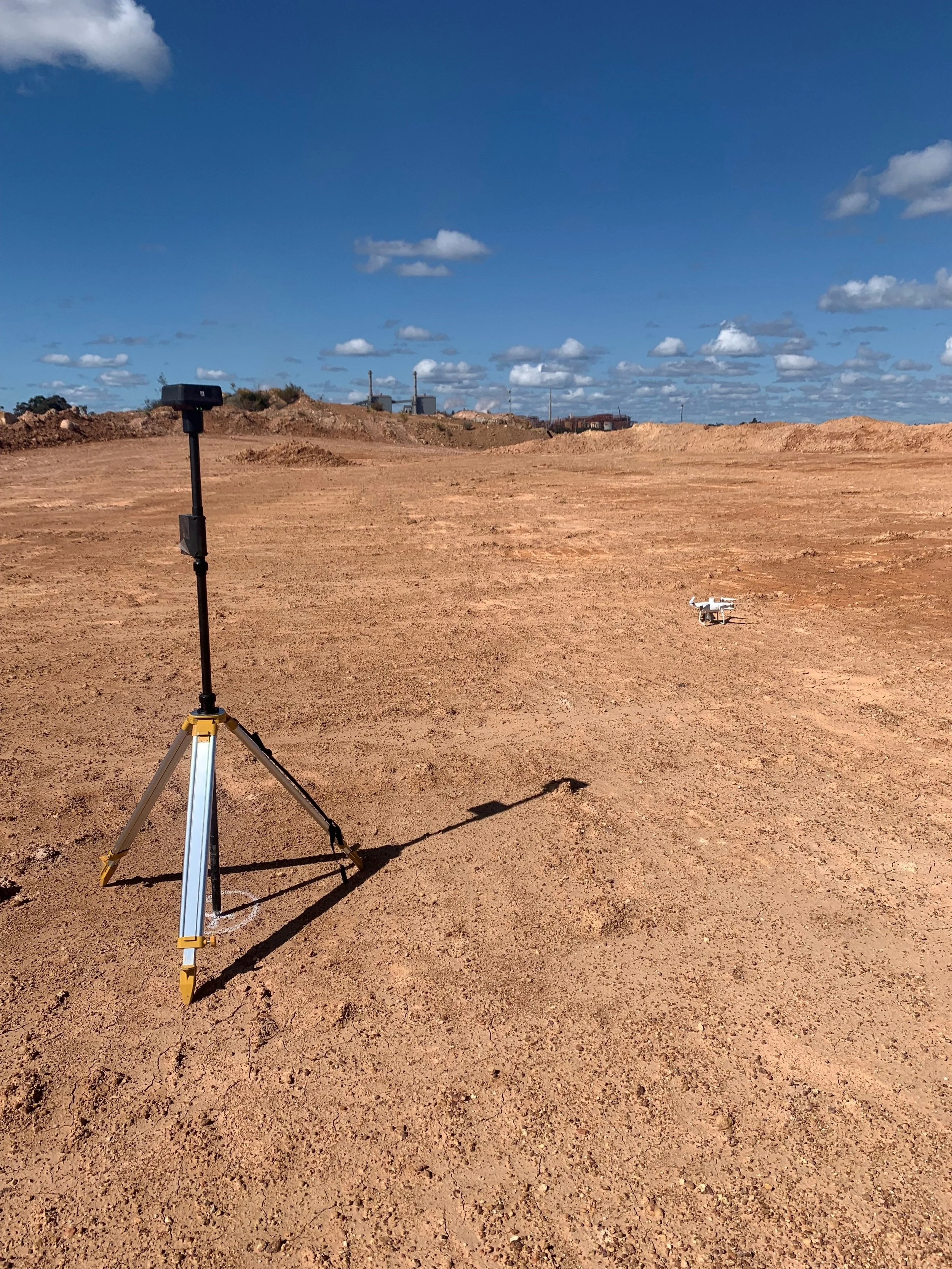
Innovative Solutions with Drone Mapping
Drone data has become an essential component of modern surveying, offering significant advantages in safety, efficiency and large-scale data capture. Our CASA-certified pilots collect high-resolution, georeferenced imagery with speed and precision, even in remote or difficult-to-access locations.
Aerial Data Collection and Site Analysis
Our UAV (drone) surveys provide a fast, efficient and accurate method for capturing site-wide data, supporting a range of applications including:
▶ Stockpile volume calculations
▶ Construction progress monitoring
▶ Digital terrain modelling
▶ Visual asset inspections
Enhancing Accuracy and Efficiency
We combine high-resolution aerial data with traditional survey methods to improve accuracy, reduce field time and minimise disruption. This integrated approach delivers reliable results and supports better project planning at every stage.
Our Commitment to Quality & Compliance
There’s no cutting corners here. We invest in regularly calibrated gear, efficient workflows and quality control systems that ensure every job is done right first time, every time.
Fully Licensed Surveyors in WA
We’re accredited, insured, and operate under strict industry standards. More importantly, we care about our reputation because in this industry, word travels fast.

Using the Latest Surveying Technology
From GNSS to UAV, we work with the best tools in the business, so you can expect precise results and seamless data delivery.

Ready to work with Metric Surveying?
We’ll help you figure out what you need and how we can help.