


Construction & Engineering Surveying Services
Comprehensive Surveying for Construction Projects
From initial earthworks to final as-builts, we deliver end-to-end surveying support that helps keep your project on schedule, within budget and aligned to specification. Our role goes beyond measurement, we identify and resolve potential issues before they impact progress.
As-Built Surveys for Compliance
As-built surveys are essential for demonstrating that works have been completed to specification and regulatory standards. We deliver accurate, certifiable data for all project stages and components.
Our as-built services support:
▶ Compliance with council and engineering requirements
▶ Documentation for stakeholder reporting and approvals
▶ Early identification of any deviations before final handover
From drainage and structural works to full-site as-built documentation, we ensure your records are clear, reliable and audit-ready.
Site Setout & Layout Surveys
Accurate layout is critical to project success. We provide comprehensive setout and layout surveys to ensure construction begins on solid ground, with no room for error.
Our services include:
▶ Site control and grid establishment
▶ Setout for roads, buildings, drainage, utilities and structural elements
▶ Bolt grids, column lines, footings and anchor bolt positioning
▶ Survey verification and quality assurance reporting
With precise execution and rigorous checking, we reduce rework and ensure construction aligns with design specifications from day one.
What we offer on site
-

Advanced UAV Drone Surveying
Need rapid, full-site visibility? Our UAV surveying services capture high-resolution aerial data with minimal site disruption and a high degree of accuracy, supporting efficient planning, monitoring and reporting across all project stages.
-
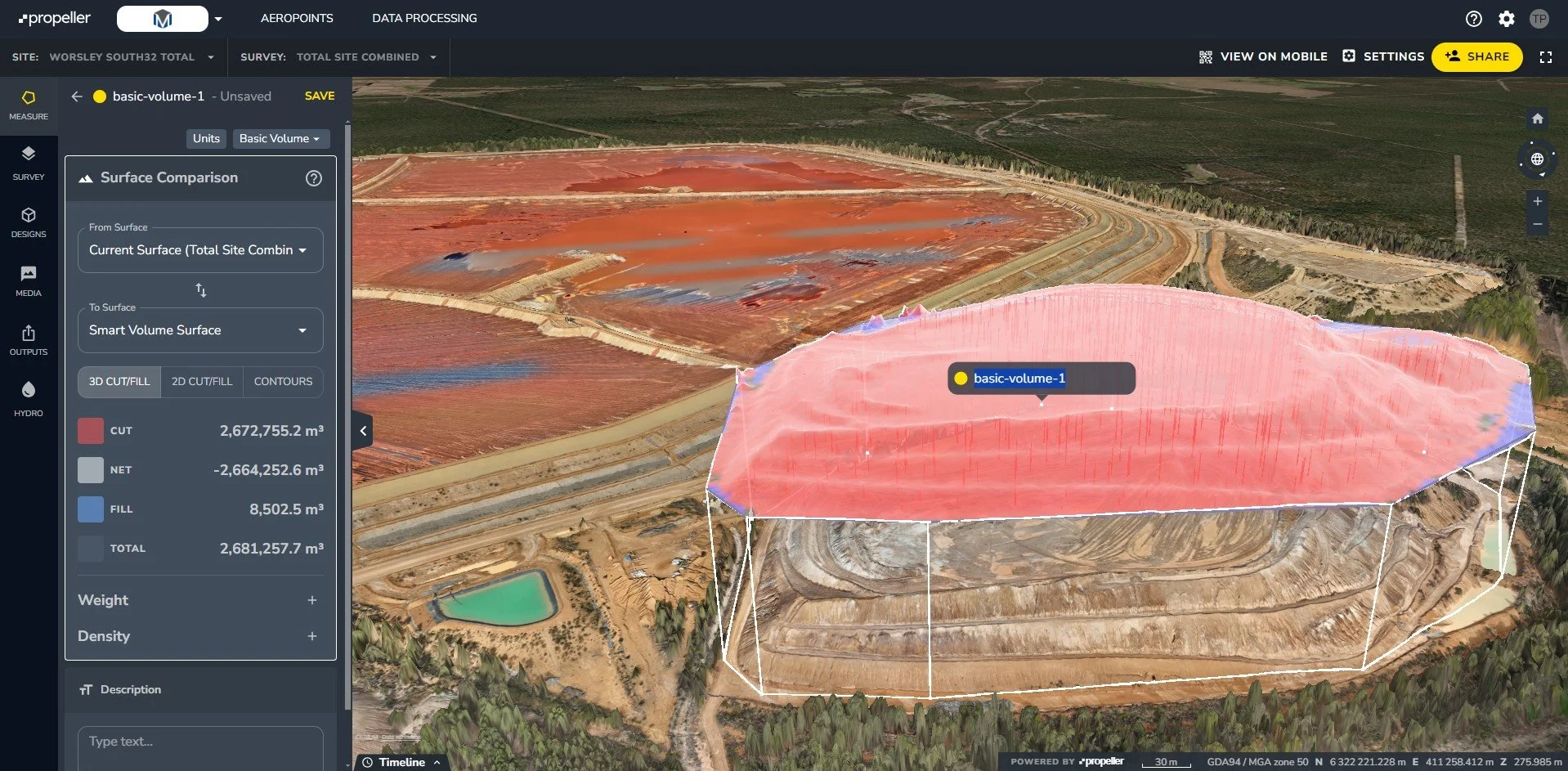
Propeller 3D Project Management
We use Propeller to turn raw survey data into detailed, interactive 3D site models. This gives our clients real-time visibility over their projects, allowing teams to measure, monitor and manage progress with greater accuracy and confidence — all in one cloud-based platform.
-

Machine Control
At Metric Surveying, we support modern construction workflows with fully integrated machine control solutions. We ensure your equipment operates with the accuracy, efficiency and confidence needed to keep projects moving, and rework to a minimum.
GPS Surveying for High Accuracy
Metric Surveying delivers precise, QA-compliant survey data using advanced GPS and GNSS technologies. Our geospatial workflows are designed to meet the accuracy standards required for civil, infrastructure and construction projects.
Geospatial Data Collection and Control Networks
We use GPS and GNSS systems to:
▶ Establish and maintain reliable control networks
▶ Provide absolute positioning data for consistent referencing
▶ Set accurate control points for construction setout
Real-Time Kinematic (RTK) Surveys
RTK surveying combines satellite positioning with real-time correction signals to achieve centimetre-level accuracy. By pairing a fixed base station with a rover unit, we deliver fast, reliable positioning data suitable for high-precision tasks across active worksites.

Precision Engineering Surveys
We collaborate with engineers, designers and project managers to deliver precise survey data that informs confident design decisions and supports accurate construction outcomes, regardless of project complexity.
Detailed Data for Infrastructure & Design
Our engineering survey services include:
▶ Topographic & feature surveys
▶ Site analysis for planning & approvals
▶ Control network establishment
▶ Monitoring for structural movement
▶ Perfect for roads, bridges, buildings and major civil infrastructure.
Support for Civil & Structural Projects
With boots-on-the-ground experience across major WA builds, we understand the pace, pressure and precision needed to keep large-scale projects moving.

Why Choose Us for Your Engineering Surveys
We understand that projects run on tight timelines and strict budgets, which is why choosing a high-quality surveyor is critical.
Licensed Land Surveyors & Modern TechNOLOGY
Our team comprises fully qualified surveyors with extensive industry experience across civil, infrastructure and construction projects. We are equipped with best-in-class technology, including advanced GPS and GNSS systems, UAVs for high-resolution aerial data capture, and integrated machine control solutions. This combination of technical expertise and cutting-edge tools allows us to deliver accurate, efficient and reliable survey outcomes across all stages of the project lifecycle.
Experience Across Diverse Construction Sectors
We’ve worked on:
Major civil and infrastructure builds
Government and council projects
Private residential and commercial construction
FIFO and remote-access sites
We know what it takes to deliver accurate results, on your schedule.
Need Surveying Support You Can Rely On?
Let’s chat. Get in touch today for a tailored quote or just some straight-up, practical advice on what you need.